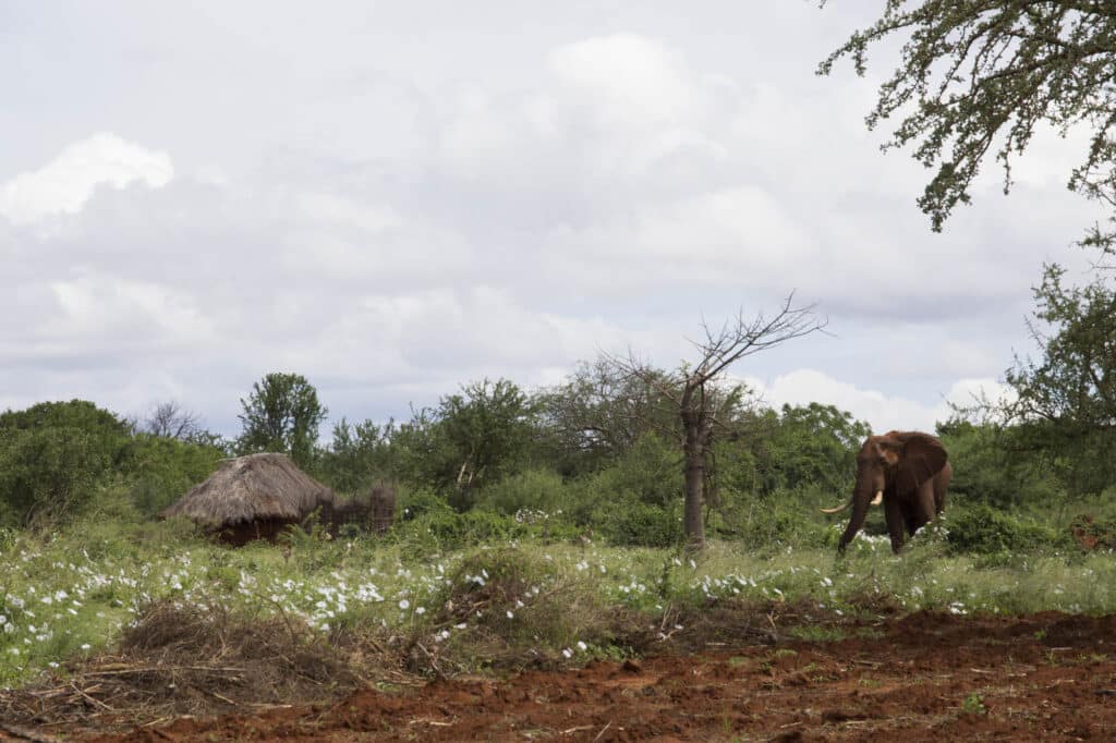
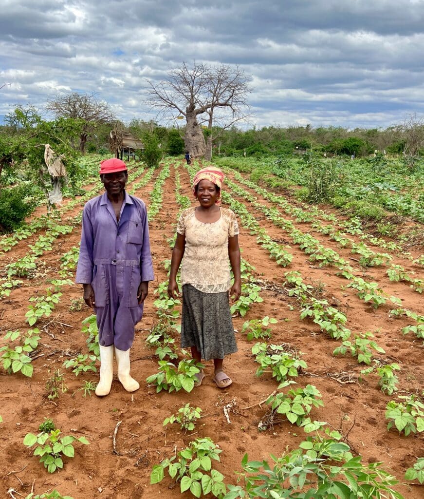
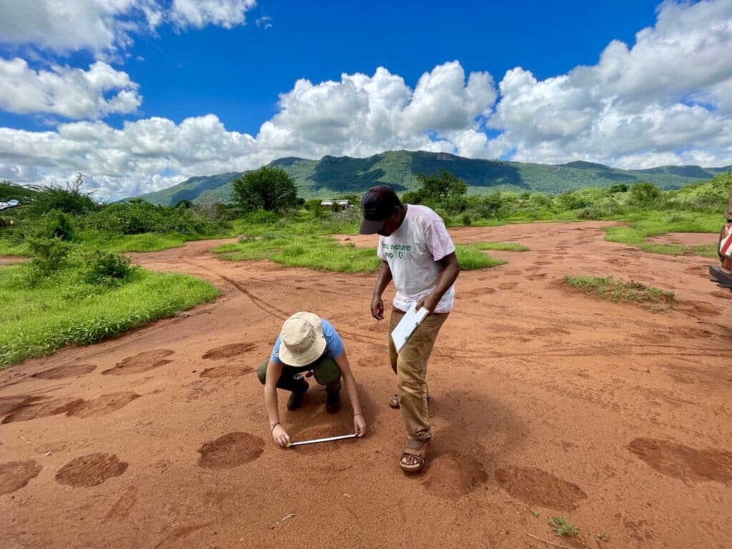
The Save the Elephants (STE) Human-Elephant Coexistence team treaded carefully, avoiding the broken stalks of the farmer’s ruined maize field. He angrily vented while the researchers inspected the plate-sized footprints of the elephant herd that had raided his farm the previous night. Human-elephant conflict is rising across Africa due to such incidents, and in Sagalla, Kenya, a hotspot for crop-raiding elephants, STE is merging different monitoring strategies to find new ways to curb conflict. This novel approach helped them discover groundbreaking insights about elephant behavior that may be crucial to keeping the peace.
Sagalla is located between two major national parks—Tsavo East and West—which together house nearly 16,000 elephants, some of which consume farmers’ crops. STE has worked with Sagalla farmers since 2009 to reduce conflict. When the community recently asked for help finding out why and where elephants were foraging, the team stepped up. Using geographic information systems technology, including satellites and aircraft-mounted cameras, STE’s researchers can collect data about elephants from the sky. They then map their movements in relation to their ecosystem’s geographic features, such as forests, bodies of water, and farms. This work sheds light on what motivates certain elephants to take different foraging paths than others across Sagalla.
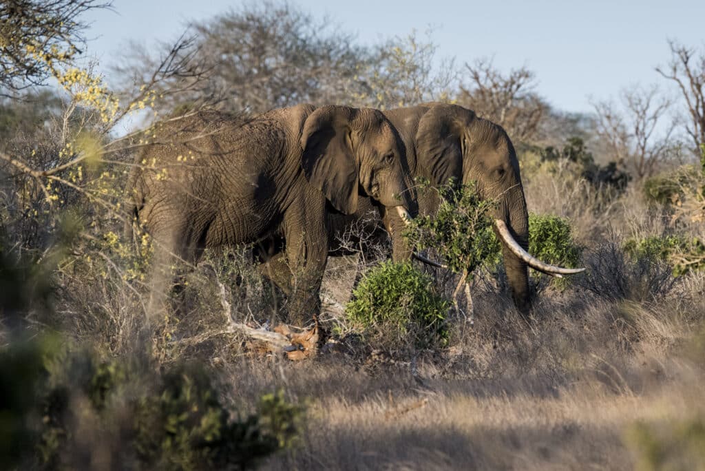
By using high-resolution imagery from a free optical imaging satellite, STE mapped all of the vegetation in and around the Sagalla farms. They then combined these highly detailed maps with their own extensive elephant movement data, collected over six years via handheld GPS devices by staff members who investigated elephant tracks after crop raids. This provided step by step data about hundreds of miles of elephant pathways to analyze, detailing every twist and turn around the vegetation shown on the satellite images. STE determined that individual elephants make deliberate decisions about which paths to take based solely on their favorite foods—lone bull elephants prefer eating from bushwillows, while females and calves prefer eating from African myrrh and frankincense trees. When an elephant group contains bulls, females, and calves, it chooses paths to areas that contain all of their respective dietary preferences.
This incredible discovery creates new understanding about elephant behavior and illustrates what natural foraging routes they are drawn to. With a better idea of which pathways elephants use in search of food, STE can determine which corridors are most important to protect and advise farmers not to plant their crops near areas that elephants must frequent. And by identifying the preferred vegetation of different elephant groups, STE can also improve the management of desirable foliage within wildlife reserves, so elephants are more likely to forage inside park boundaries than outside.
Although they can’t bring back the farmer’s lost crops, STE’s research will reveal why the elephants were drawn to his farm and how to prevent this from happening again. By combining satellite images and GPS data to create movement maps that forecast where conflict is most likely to occur, STE can cool crop-raiding hotspots and improve coexistence between farmers and their elephant neighbors.


